CARTOGRAPHIES AND GEOGRAPHICAL INFORMATION MANAGEMENT
Gestión de Cartografías e Información geográfica de los servicios de Localización Kyros
Gestión de Cartografías e Información geográfica de los servicios de Localización Kyros
Kyros processes data to generate vehicle usage reports that collect the distance traveled (KM or Miles), fuel consumption and hours of activity for a vehicle differentiating the private and professional mode.

Reports of Kyros LBS vehicle use by driver, in private and professional mode. Summary Consumption, Distance (KM or Miles) and Hours of Activity.
In the vehicle use report, Kyros processes the positions, and for each category of data: distance, consumption, and hours of activity, calculates the totals per driver in private and professional mode, in the period – week or month – selected.
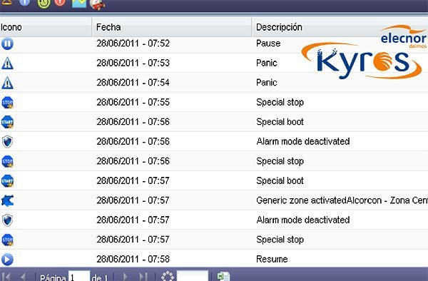
To activate notifications, Kyros receives and processes the data of the devices by associating them with events, which the web operator / user can manage according to their criticality and protocol.
Events such as: Unauthorized Movement, Stop at Point of Interest (POI), Proximity to Prohibited Zone, Excessive Speed, etc. Event notifications can be configured to be displayed on screen following the same protocol of action in case of Alarm or in the form of a Push message, SMS and / or email. All these events and notifications will be collected in reports for registration and subsequent treatment

Event management is configured based on the query, notification and type of events or State, if it is critical – it is Alarm – if it is not critical – it is Alert, and it has an associated Notice or Notice. Alarms are treated in the interface by changing the device status: devices in normal situation, devices in emergency and devices in alarm. In an emergency situation, the platform receives the alarm and Kyros notifies the operator / user or Security Manager to verify its status and validate the change of status of the device.
Gestión de Cartografías e Información geográfica de los servicios de Localización Kyros
Informes Actividad de Flota por Gestión de conductor